Sue and Martin in Mallorca 2019

Sue and Martin in Mallorca 2019
On the Archduke's Path in Mallorca

Saturday 19 December 2009

Saturday 19 December 2009 – Orienteering – My First Attempt

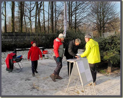
The Registration Desk

Back in the summer, in the Maritime Alps, we met some orienteers.  They enthused about the sport.  Today I decided to try it out for myself.

I’d discovered that my local club - Manchester and District Orienteering Club – organise a series of Saturday morning meets, suitable for beginners, so this morning I headed off to nearby Woodbank Park in Stockport.

The registration point was manned by a lady called Sue, and everything was friendly, welcoming and relaxed.  I paid my £3 and borrowed a ‘dibber’ – that’s a little electronic gadget that you insert into a device the size of a small GPS unit at each ‘control’ point.

Then I wandered off to the start, where my 45 minutes of searching for ‘controls’ started with my first ‘dib’ of the dibber.  I was then handed a 1:7500 scale map showing 21 numbered ‘controls’.

I strolled off, alone, as everyone starts individually – after the person in front has disappeared.  Where the **** was I?  I was completely disorientated!  It took me a good five minutes to get sorted out, my whereabouts being confirmed by the discovery of control number 113.  Great.  I ran off and soon found control number 104, but looking at the map I realised I’d missed number 126.  I’d gone right past it.  This was harder than it looked!

So I went back and dibbed that one, then set about taking a bit more care to visit as many of the remaining controls as I could, by way of an anti-clockwise circuit.  Most were easy enough to find, but eyes in the back of the head would have helped, and some markers seemed to be placed at the very edge of the 50 metre diameter circles that indicated their presence on the map.  The conditions were lovely – cold and firm – and I soon found myself a little warm, having inadvertently dressed for a slow winter hike.

With 15 minutes left, I found myself at the far end of the map, so I jogged back to the start/finish, visiting whatever controls I could find en-route.  I even found an extra one not on my map.  I’ve now checked the web site and have discovered that there were five such extra controls – indicated on maps at certain control points.  This had gone completely over my head.  Anyway, I got back in just under 47 minutes, so I received a time penalty, but I had managed to visit 17 of the 21 control points on my map, plus the extra one that would only count if I’d ‘visited its ‘slave’ control first’ (I have no idea). 

Back at the registration desk after my 5 km jaunt, the dibber was downloaded and a small print out showing times and numbers of the controls I had visited was handed to me together with a Rose’s chocolate.

Sue told me ‘the results should be on the web site by early next week.’  So then I’ll have a better idea of how many people were taking part and how I did, though really I’m not that bothered – this turned out to be an enjoyable way of getting a bit of exercise on a bright frosty Saturday morning.

There’s another event, even closer, in January.  I may well be there.

Postscript:
23 people took part, 12 of whom were in the ‘Score’ competition in which, so it seems, I participated.  There were 26 controls.  Two people visited them all, but both of them exceeded the 45 minute limit.  I found 18 controls (180 points) and incurred 10 time penalties, so scored 170 points, coming 8th out of the 12 participants, and taking comfort from the fact that I was the first ‘over 60’ to finish, and all those above me were members of orienteering clubs.  There’s certainly room for improvement though!

Friday 18 December 2009

Friday 18 December 2009 – Snow in Timperley!

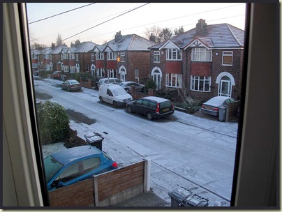
Morning in Timperley

This is an unusual sight to wake up to in Timperley.

Nevertheless, intrepid TGO Challenger John J made it round for coffee and cakes, in exchange for vital assistance regarding the broken power supply for my slide scanner.  We enjoyed a score draw on the Christmas card front  as well.  Thanks John.

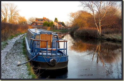
It was a lovely day, so I took a stroll down the canal to the Swan with Two Nicks, passing this barge near the Bay Malton.  Ice was forming on the canal, with thin sheets stretching all the way across it in places.

A barge near the Bay Malton

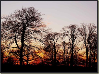
Returning to Altrincham through the grounds of Dunham Massey, I caught the sunset from outside Dunham Massey house.  The trees have now lost nearly all their leaves, and the cloudless sky made for a rather quick sunset process.

Sunset from outside Dunham Massey house

Sue reckoned it was better from Timperley Bridge.  But she can’t prove it!

Wednesday 16 December 2009

Tuesday 15 December 2009 – A Great British Ridge Walk – Number 24 – The Mardale Horseshoe – High Street via Riggindale Ridge descending Harter Fell via Gatescarth Pass

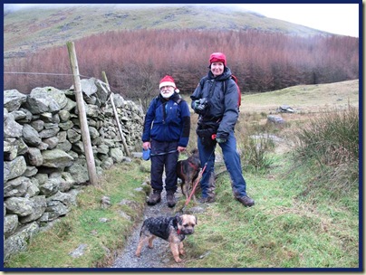
Bill Birkett’s book - ‘Great British Ridge Walks’ provided the inspiration for today’s easy walk with Father Christmas and some followers.  With reindeer craftily disguised as small dogs, we set off from Mardale Head shortly after 10 am on a wintry day with low cloud, but at least it stopped raining as we set off.

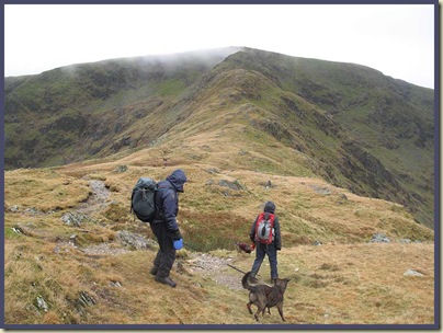
Santa, Bruno, Shirley and Piglet, leaving Mardale Head

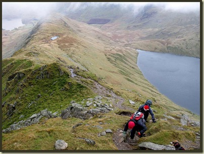
Our route up Riggindale Ridge looked steep and sharp from the banks of Haweswater.

Riggindale Ridge - our route

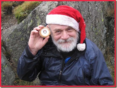
“Who’s the prettiest of them all?” asked Santa, whilst we enjoyed some elevenses.

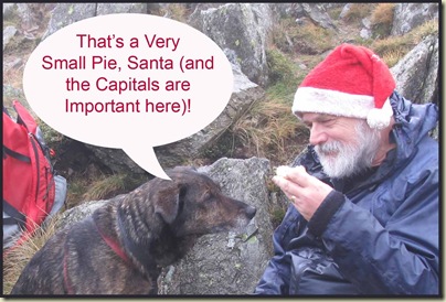
Santa, with one of Mrs Kipling's Christmas Pies

A Very Small Pie

As we gently rose up the hill, Santa’s magic made the clouds lift ahead of us, with the remainder of the ridge, topped by Racecourse Hill (the summit of High Street), suddenly drifting into view.

Riggindale Crag and Long Stile

Clouds swirled below us as Bruno the Reindeer waited for his charges and I tried in vain to spot the resident eagles.

View to Rough Crag and Blea Water

A pause in the eerily reconvened mist enabled Santa to catch his breath and relate a ghost story about a wake in a bothy.  This man’s imagination knows no bounds!

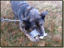
Bruno with some chewy ice


Puddles near the summit had 2 cm of crusty ice that Bruno found very tasty.


Here are some views at the summit of Racecourse Hill.

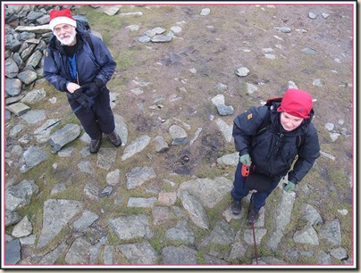
Santa and Shirley below the summit of Racecourse Hill

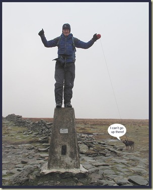
On the trig point

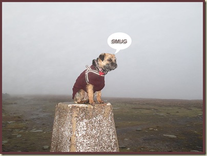
Piglet

After the windy ridge, the summit conditions were relatively calm, especially behind this custom built windbreak.

A lunch break on Racecourse Hill

Descending towards Mardale Ill Bell, the low sun reflected brilliantly off Windermere, with Kentmere summits in the foreground.

The view to Windermere, with Froswick

The sun was shining brightly in Kentmere.

Kentmere

After a brief encounter with some bouncy ladradors, we trundled off to the summit of Harter Fell.  It was quite cool – around 1C, plus wind chill.  After succumbing to wet feet on some recent trips with Santa, I was glad to be in warm winter boots, with warm, dry tootsies.

Piglet, Shirley, Santa, Bruno and Martin

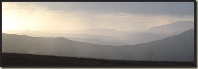
There were fine views to the west.

The Isle of Man is over there somewhere

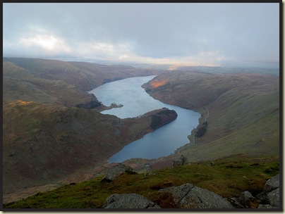
From the north eastern cairn on Harter Fell, Haweswater, far below, looked very pretty.

Haweswater

At various points on this walk, Shirley got out her little digital recorder thingy and asked us various podcast-interest questions, such as “Have you always been unable to finish a sentence?” and “That RABid fleece doesn’t half pong, wot?” I seem to be completely unable to say anything vaguely interesting or sensible when faced with a recording thingy, but maybe Podcast Bob will be able to edit it to form something vaguely interesting to Podcast fans – possibly a Captain Beefheart track or something…… Santa seemed to do better…

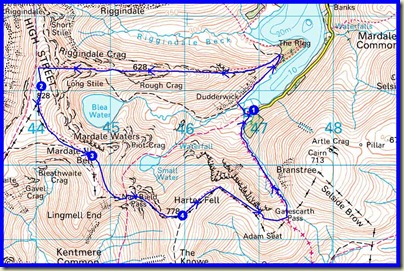
Here’s the day’s route – 11 km, 830 metres ascent, taking 5.5 hours.

Route taken on 15/12/09 - 11 km, 830 metres ascent, 5.5 hours

The Haweswater Hotel, despite drilling noises from builders, provided sustenance for the weary.  It had started to rain again.

Another excellent day out.  Thanks all for coming along.

The next ‘Great British Ridge Walk’ will be on Tuesday 12 January 2010 – a short jaunt from NY 232 194 in the Newlands Valley, up Hindscarth and across the Littledale Edge to Robinson, starting at 10.00 am.  All welcome; come properly equipped!

Santa’s take on today’s walk is here
Shirley (Peewiglet)’s is here.
Here’s a slideshow.

Monday 14 December 2009

Sunday 13 December 2009 – A Very Sociable Outing

An annual event.  A Sunday ramble shortly before Christmas, featuring (unusually, as butties are our normal fare) a long lunch stop in a hostelry with meals and beer.

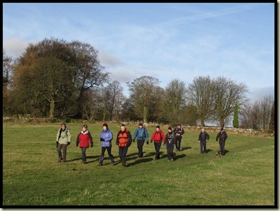
Today’s route was that walked on 12 November, so there’s no need for me to repeat the details.  We were blessed with fine weather and an excellent turnout comprising 24 adults and a Piglet, which is actually a small dog, from near and as far as Bury St Edmunds, Southport and Malvern.  They were remarkably punctual, even to the extreme of reverse punctuality exhibited by one couple who managed to arrive an hour early, narrowly beating Andrew, who yet again mis-timed his short journey!

I didn’t take many piccies as the day just seemed to fly past chatting to folk, who included seven outdoor bloggers and a podcaster.  Not all will be reporting on the event, you’ll be pleased to hear, and as you can see from this prosaic reporting, Alan and Phil have kindly returned the keys to the Postcard.

We left Alstonefield, well wrapped up, soon after 10 o’clock, and soon hit a very pleasant field path.

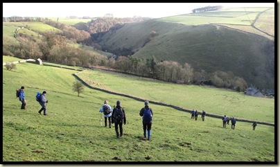
East of Alstonefield, just past the church

But the descent to Milldale is steep – luckily east facing so the early sun had taken the frost away, reducing the entertainment value as well as the risk of injury.

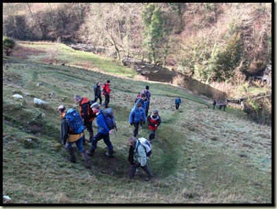
Descending the steep slope to Milldale

Bob may have a classy shot of Milldale, but I missed the chance as I was trying to provide guidance to opposing factions who appeared to be heading off in several different directions.  The way was ‘up’.

Ascending the steep slope out of Milldale

A few miles along the Tissington Trail provided plenty of space for people to catch up, catch their breath, or simply chat.  In fact, we were going so well that a halt was required to avoid drastically early arrival at the Waterloo Inn.  I was also able to lighten my load by sharing a flask of tea with Sue and distributing a large quantity of shortbread and brownies, with enough for everyone and some left over for my next encounter with the ever voracious Pie Man.

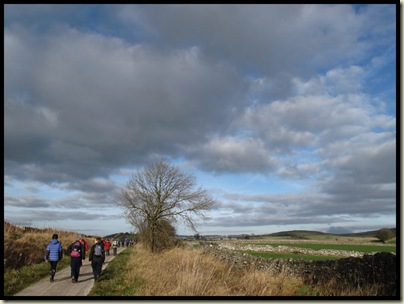
On the Tissington Trail

The Waterloo Inn fitted us in as best they could. (Unaware of the popularity of this year’s event, I had originally booked for 10-20, for whom there was plenty of room; so we couldn’t really blame the pub for seating Alan and Lord Elphus in a corridor.  Could we?)

Two hours in the pub flew by, especially for those in a corridor next to the bar, every pump on which had to be sampled.

With the light already fading, and 7 km to go, all 24, and Piglet, were led away, and coaxed along easy lanes before a sharp descent to Wolfscote Dale.  It’s a very pleasant walk down here to Gipsy Bank Bridge, passing the resident heron that didn’t seem to have moved in the past month.

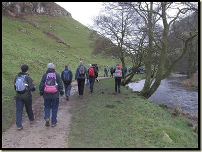
Strolling down Wolfcote Dale

Piglet.  Very Clean.

Piglet was given a good wash in the river at this point.

I’m not sure why, as aside from rolling in assorted brands of dung she seemed to me to be very quiet and well behaved.


After crossing the narrow bridge there’s a steep path up Gipsy Bank.  I received complaints at this point, though Lord E had fallen too far behind for his pathetic wailing to be heard.

Ascending Gypsy Bank in fading light

During the ascent, the aftermath of sunset made the sky quite pretty.

Sunset

So by the time we left Alstonefield after fond farewells and a close inspection of Bob and Rose’s splendidly converted Transit Van, it was Dark.

Thank you, everyone, for coming along and making this little jaunt one of the best attended and most sociable walks of the year.  I’ll be happy to add any pictures you may have to this album.

The following links may also be of interest:
The same walk on 12 November 2009, and photos from that walk
Christmas walk 2008
Christmas walk 2007
Alan’s Report (It’s a different version, I promise!)