Sue and Martin in Mallorca 2019

Sue and Martin in Mallorca 2019
On the Archduke's Path in Mallorca

Friday 17 August 2012

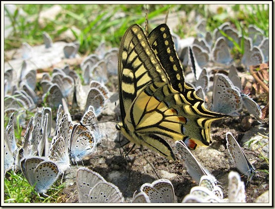
Butterflyfest

'Butterflyfest'

This image, taken on 6 July 2011 near San Giacomo in the Maritime Alps, was entered in the Austrian Alpine Club’s 2011 Photographic Competition, and gained the Nature Award.

I reported on that trip here.

But there was a serious faux pas on my part, as the photo now appears to have been taken with Sue’s camera.  I’m in trouble, especially as ‘Butterflyfest’ won the ‘First Time Entry’ category, beating ‘Reflections’ (indisputably my picture), which was Runner-up in that category.  So this year’s entries will have to be submitted in Sue’s name, but will be up against Paul, who is about to depart for Mayrhofen and takes better pictures than we do….

Have a great weekend, everyone.

Thursday 16 August 2012

Tuesday 14 August 2012 – Nether Alderley

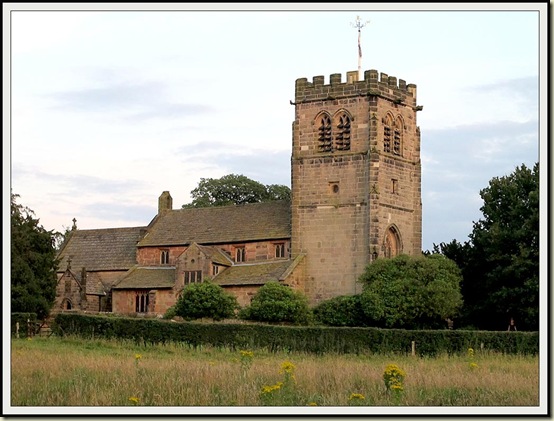
Nether Alderley church

After a long break from evening walks due to other commitments, we chose a great night to resume this activity, meeting at the Stag’s Head in Great Warford for a beer in warm sunshine before heading into the fields of Cheshire as the sun wandered down towards a seemingly flat horizon.

Fields near Warford

This was Andrew’s route – thanks for organising it Andrew – an exploration of the footpaths affected by the new A34 by-pass around Alderley Edge.  In fact the paths don’t seem to be greatly affected, with bridges and road crossings, as well as a footpath alongside the by-pass, enabling walkers to follow more or less the same routes as they could before the by-pass was constructed.

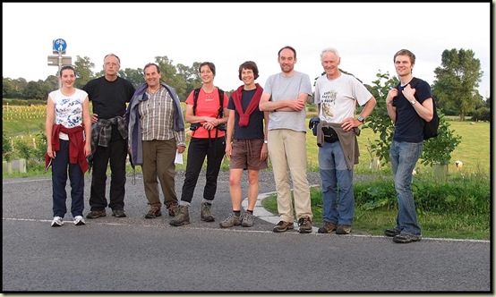
Here we are beside a bridge over the big road, with its cycle/pathway clearly signed above Gerry’s head.

Walkers beside the Alderley Edge By-Pass

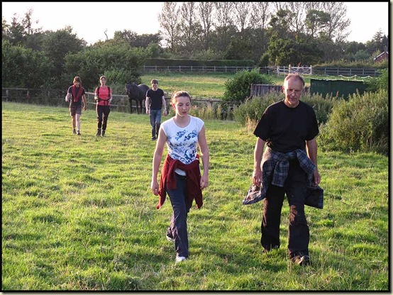
It was a good turnout on a warm summer’s evening.

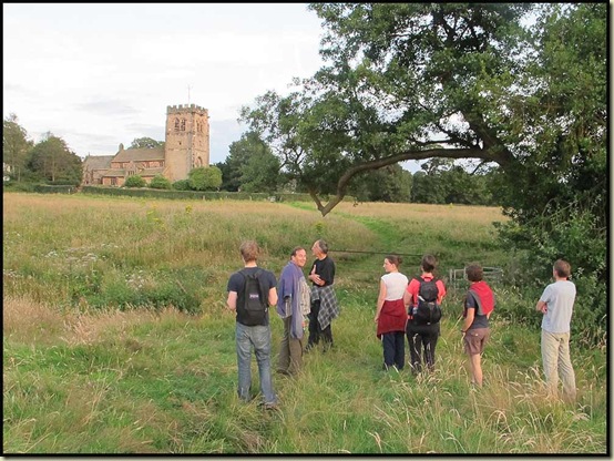
After crossing the by-pass we strolled through overgrown paths (“pass the dock leaves” asked Sue) to Nether Alderley, where Neil and Christine Hamilton used to live next to the fourteenth century church, pictured above and below.  This well proportioned building utilised stone from Alderley Edge and slates from nearby Kerridge in its construction all those centuries ago.

Nether Alderley Church

It was good to be joined by Pete and Gerry (en route from the Lake District to Bath), Mary (now working in Warrington), Mike (on holiday and taking a break from rebuilding his kitchen), and Paul (on his way home to Buxton).

They were all privileged to witness a lovely sunset, during which a quirk of optical refraction delivered a fine view of the Matterhorn, beyond the shimmering waters of the English Channel, on this calm summer’s evening.

A Cheshire sunset

It was more or less dark by the time we regained the beer garden of the Stag’s Head for further indulgence and entertainment provided by the annotations made in by Sue and me in Allan Hartley’s guide to a walk around the Zillertal Alps.  The book was handed over to Paul, and will no doubt provide entertainment during his forthcoming visit to the area.  It must break all records for errors in a Cicerone guide book!  Hopefully Paul will update the book, as it’s five years (just before this blog started) since our visit – a great walk from Mayrhofen by the way.

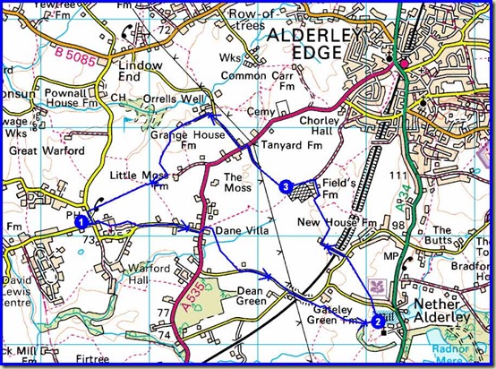
Here’s our 8 km route.

Our route - 8 km (5 miles) in 1.5 to 2 hours

And here’s a route showing the line of the by-pass, though Google’s ‘satellite’ view still doesn’t include that feature.

There are evening walks next Tuesday (Etherow), and the following Wednesday (Redesmere), should anyone wish to join us.  We’d welcome your company, but it’s getting to the time of year when a torch may be a useful piece of kit to bring along!

Tuesday 14 August 2012

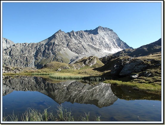
‘Reflections’

'Reflections'

This image, taken on 10 August 2011 at a lakelet near Cabane de Chanrion, on the Chamonix to Zermatt Haute Route, was entered in the Austrian Alpine Club’s 2011 Photographic Competition, and gained the Mountain Landscape/Wild Country Award, following a Slide Presentation at the Club’s AGM, 2012.

I reported on that trip here.

(This is just to cheer people up, as it’s going to rain tomorrow!)

Monday 13 August 2012

Sunday 12 August 2012 – Three Shire Heads

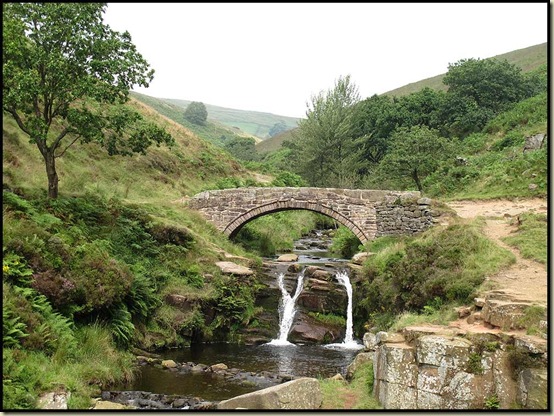
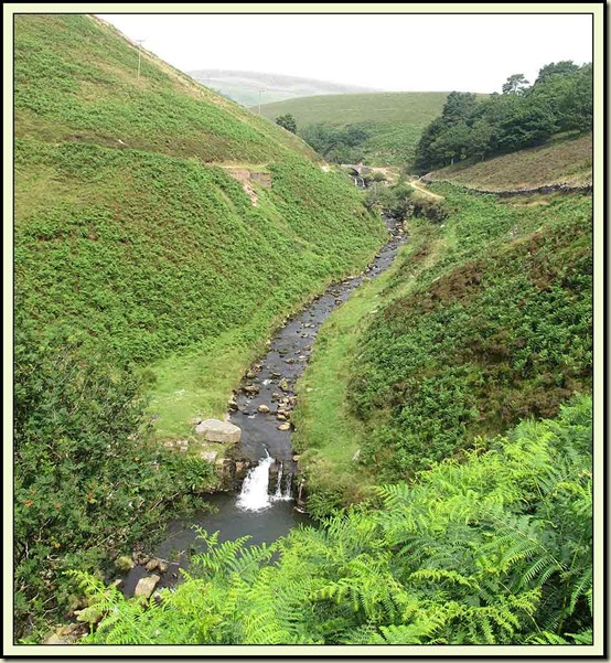
Three Shire Heads, from the Hawk's Nest path

Just a reminder that our local countryside has major attractions, as well as some of those more distant locations that have featured in recent postings.

And it’s so nice to be inputting this from a proper keyboard!

Sue and I assembled at the Cat and Fiddle at 10 am, together with Sue W, David, Andrew, Graham, Tove and Paul, for a picturesque Peak District bimble, in undecided weather.

The walk down Danebower Hollow, which frequently sees the tyres of my bike, was in a cool breeze under a cloudy sky.

By the time we passed the chimney beyond the A54 road, the sun was emerging.
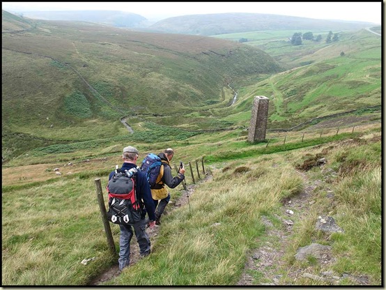
Descending past the chimney, beyond Dane Bower

Elevenses were taken in bright sunshine at Three Shire Heads, where Cheshire meets Derbyshire and Staffordshire.  It took some time, as tales of recent trips and plans for future excursions were savoured, together with much discussion of the (surprisingly?) successful London Olympics, which finished on this day.
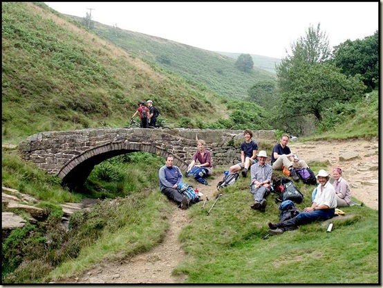
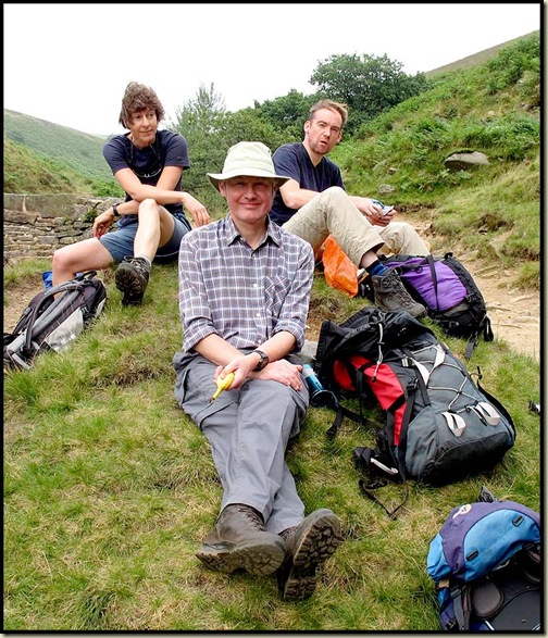
Elevenses at Three Shire Heads"Gimme that Banana!"Three Shire Heads

Beyond Knotbury, men in camouflage sporting pop-guns were shooting at targets rather than decimating the grouse population on this, ‘the glorious twelfth’.  We skirted the red flags and headed up Drystone Edge as the cloud drifted back.
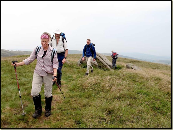
Passing the rocks on Drystone Edge

Drystone Edge didn’t quite live up to its name – it got steadily more boggy as we progressed towards a minor road beyond Cheeks Hill for lunch in a sheltered spot amongst the Bog Asphodel.
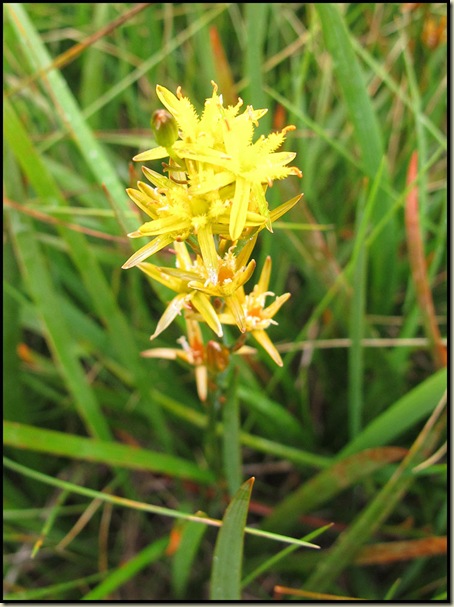
Bog Asphodel

After that it started to tip down, so by the time we reached point 475 and said goodbye to Paul, who strolled back home to Buxton, our leader elected to omit a planned visit to Errwood Reservoir and head straight back to the Cat and Fiddle for a welcome beer.

A most pleasant stroll in the best of company – 15 km (9 miles) with 400 metres ascent, in about 4½ hours (see below).  Thanks to Sue W for organising it.
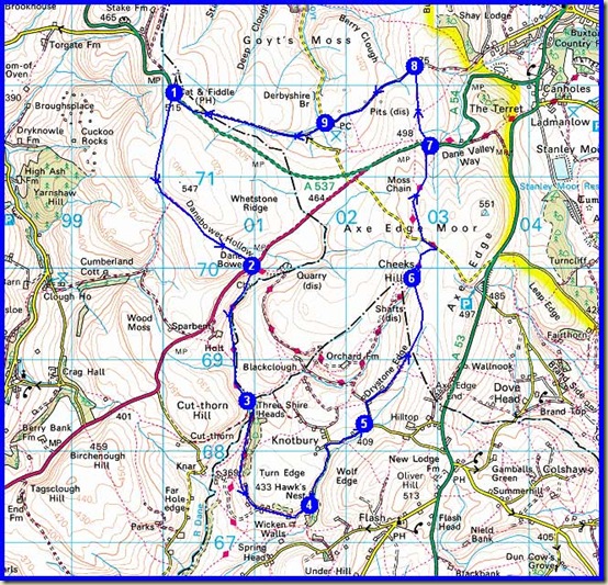
Our route - 15km, 400 metres ascent, 4.5 hours