The main purpose of this blog is to keep in touch with friends and family, and maybe entertain others with common interests, particularly in relation to the outdoors. We hope you enjoy it, and your comments are valued....
Sue and Martin in Mallorca 2019

On the Archduke's Path in Mallorca
Saturday 15 June 2013
Saturday 15 June 2013 - Pyrenees GR10 - Day 1 - Timperley to Elsenham
Friday 14 June 2013
A Pyrenean Adventure
Sue and I set off tomorrow – on the 16.06 from Navigation Road to Elsenham – on this year’s Alpine adventure, which is in the Pyrenees.
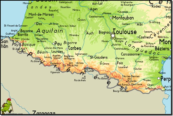
Having walked the HRP (Haute Randonnée Pyrénéenne) in 2004, our path on this occasion is the easier GR10 route on the French side of the Pyrenees. It’s shown above on Traildino’s map, as a thin red line from Hendaye-Plage, on the Atlantic coast, to Banyuls-sur-Mer on the Mediterranean.
The whole trip will take about two months to cover 900 km (560 miles) in a rather leisurely fashion with plenty of rest days. We will ascend a total of around 50,000 metres, topping out at about 2,500 metres.
Sue still can’t carry backpacking kit, so she is returning home from Luchon, approximately half way, after a month, as a tent is needed after that. We have spent the last couple of days booking accommodation for ‘Phase 1’, so we are fairly committed to the itinerary that can be viewed here.
I’ve also sorted out a bit of camping gear for ‘Phase 2’ and have today posted it to Luchon – thanks go to Mike and Annette Jones at Villa Portillon for agreeing to store it for me.
TGO Challenger Graham Brookes is planning to join me from Luchon for a wild couple of weeks, up to Vicdessos, following which I’ll enjoy my own and random bodies’ company for the stroll to the Med.
I’ll enjoy composing regular postings, though I still have much to learn regarding the S3 phone. I hope you’ll enjoy reading them.
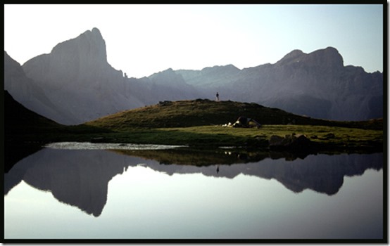
Regular readers may be familiar with this picture of one of our best camping spots from 2004 (there were lots of very good ones), by Lac d’Ansabere.
Have a great summer, everyone.
Thursday 13 June 2013
Tuesday 11 June 2013 – An Evening Stroll Around Delamere
This evening walk was a similar route to that taken with Richard and Jenny on 7 September 2008, when I wrote about it in a little more detail, here.
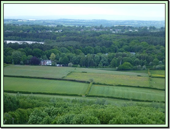
This time we started from the Visitor Centre near Delamere Station, with Andrew, Bridget and Mary, and soon found ourselves admiring the views from the ramparts of Eddisbury Hill. The header picture shows the immediate surroundings – looking down to Delamere and Blakemere Moss, but the wider view spanned the Cheshire plain, with the Peak District on the horizon and Jodrell Bank telescope just visible in the middle distance.
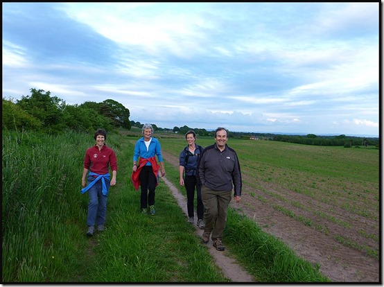
Here we are, after rounding Eddisbury Hill and joining the route of the Roman Road that used to link Manchester with Chester, the Watling Street..
Modern farmland has obliterated most signs of the ancient heritage of this area, but Eddisbury Hillfort is the largest and most complex Iron Age site in Cheshire, and there are well concealed remains of the later Roman presence.
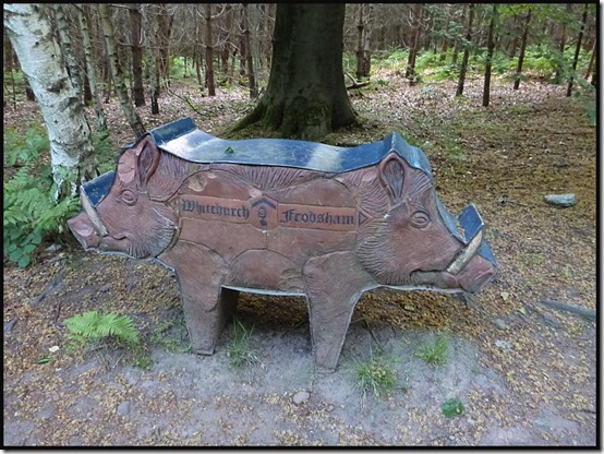
The path eventually reached a junction where we turned right, and we were soon greeted by this unmistakeable evidence of the Sandstone Trail.
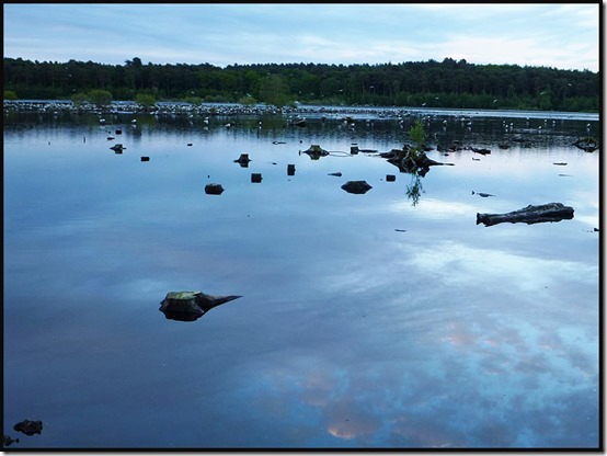
After a couple of easy miles through pleasant woodland, I decided the assembled company might prefer not to go all the way to Frodsham on this occasion, so we turned back towards Delamere, passing Blakemere Moss just as hundreds of Black-headed Gulls were coming in from all directions to roost for the night.
This was an excellent breath of fresh air on a pleasantly warm evening, and very sociable to boot.
Here’s what my Garmin Gadget thought of the route, should anyone wish to follow in our footsteps:
Tuesday 11 June 2013
Newgale Sands to Abercastle – June 2013
This is basically an index page for our recent 70 km series of day walks based in St David’s.
Here are links to the individual postings made ‘from the trail':
You can click them in order, returning each time to this page by clicking on the Back button (the arrow pointing to the left at the top of the screen).
Day 1 – Newgale Sands to St David’s
Day 2 – St David’s to Whitesands Bay and back to St David’s
Day 3 – Whitesands Bay to Porthgain
Day 4 – Porthgain to Abercastle
I’ve done a couple of slide shows:
Mainly for those who were on the trip – 210 images here.
For those who are content with a few of the images – 71 images here.
Press the ‘Slideshow icon to see the slideshow, and to view the pictures on the full screen, pressing F11 may work. Press ‘Esc’ to revert to the normal screen. To go through the images at your own pace, hover over the bottom of the screen and press the ll ‘stop’ icon. You should then be able to move through the images in your own time using the arrows on your keyboard.
Enjoy!
Monday 10 June 2013
Friday 7 June 2013 – An Alderley Circuit, with Buttercups
Sadly, only Andrew was able to join me on a gloriously sunny summer’s day for this postponed (from snowy 22 March) ramble around Alderley.
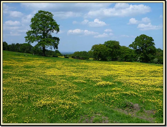
Two and a half months make a huge difference. Everything is now pretty dry, the buttercups and other flowers are in full bloom, and the trees are in full leaf.
We started from the National Trust car park, wandering past The Wizard restaurant, whose former name, the Miners Arms, gives a clue to the industrial heritage of the area, to reach the site of the Armada Beacon. There’s a plaque here now, but from 1779 to 1931 a square stone building adorned this spot, at 200 metres (650 feet) above sea level on the highest part of the Edge.
For many years the Beacon stood out above the trees on the western edge of the woods. In earlier times, when the Edge was a bare and treeless heath, the mound was visible for miles around, and the Beacon appears on Saxton’s 1577 map of Cheshire. It was no doubt used to signal to the Helsby, Frodsham and Runcorn beacons the coming of the Spanish Armada in 1588.
The square building on top of the mound, which was blown down on a windy December night in 1931, is said to have housed a huge iron pot full of pitch that could be lit at a moment’s notice to repel raiders.
These days the lush Cheshire countryside and woodland blocks most views when the trees are in leaf, though occasional glimpses of Manchester’s city centre buildings are gained through the hazy summer light.
Today our route took us to the north east of Mottram St Andrew, through field paths still laden with dew despite the hot weather, to cross the River Bollin by Mill Farm.
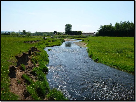
Here the River Bollin has seriously eroded its banks, resulting in a long term diversion of the Bollin Valley Way – a 23 mile marked footpath from near the source of the river above Macclesfield to the point at which it drains into the Mersey/Manchester Ship Canal system near Lymm.
We found our way, having been this way before, and weren’t fooled this time by the routing of the path down somebody’s driveway. Lunch was taken on return to the Bollin, from where we strolled up river, past Prestbury’s sewage works, to cross by a bridge near Spittle House.
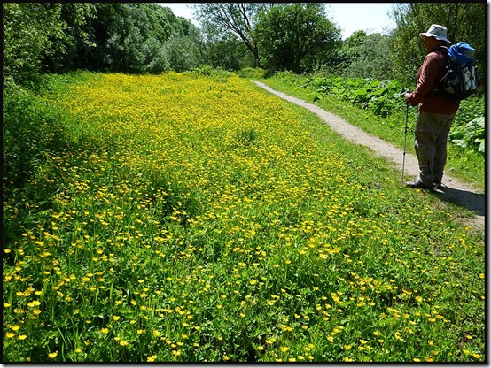
The buttercups are stunning just now.
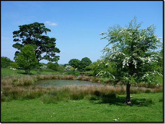
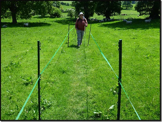
Our route took us up to Legh Hall, past some ponds, and along a path that had been carefully marked out across a field “to protect the privacy of the residents”.
It seemed a bit strange, but perhaps they have suffered from indiscriminate picnickers. We gave them the benefit of doubt, though Andrew did complain that the path wasn’t wide enough for him! (He hasn’t yet learnt how to comment on the blog, so can’t answer back!)
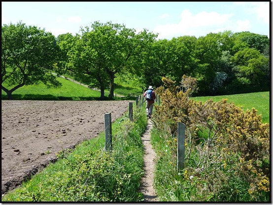
Further on, the path leading back to Alderley Edge has always been narrow, but unlike some Cheshire pathways, it’s protected from the farmer’s plough.
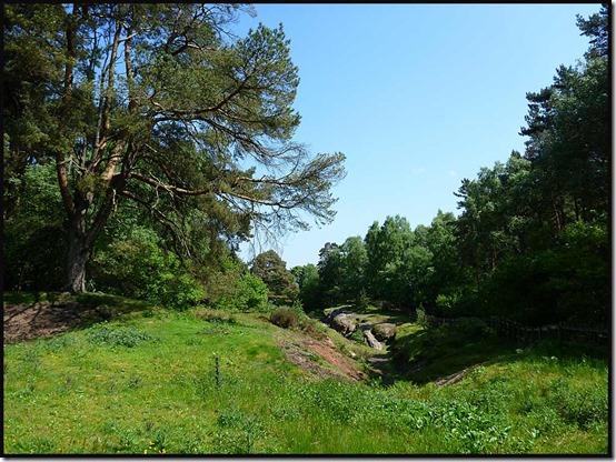
We returned past the Engine Vein, pictured below, which a few years ago was an ugly open scar, where a line of early mining pits was excavated in around 1900. After being fenced off, it now looks grassy and benign, hiding centuries of mineral excavation.
Numerous old tools, dating back as far as the Bronze Age (2500 to 800 BC) have been found hereabouts. Many minerals are found here in the space of a few acres, including copper, lead, iron, zinc, silver, arsenic, silicon, barium, vanadium, and magnesium, in a variety of forms, mainly as thin films coating the pebbles and grains of the porous sandstone. From the Engine Vein, later galleries and levels amounting to 22 miles in length, reach out beneath the Edge.
There’s much more history to this place, but that’s enough for this instalment!
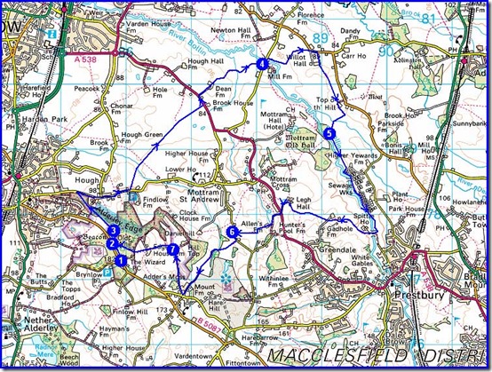
We were back at the car park soon after 2.30, after this most pleasant of bimbles – about 16 km (10 miles) with 250 metres of mainly unnoticed ascent, taking just over 4 hours. Here’s the route:
Next – a 9 km evening walk on Tuesday (tomorrow) – meeting at 7.30 at the Information Centre near Delamere Station (SJ 546 703). All are welcome.

